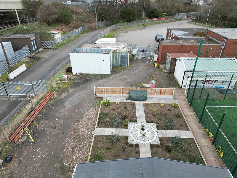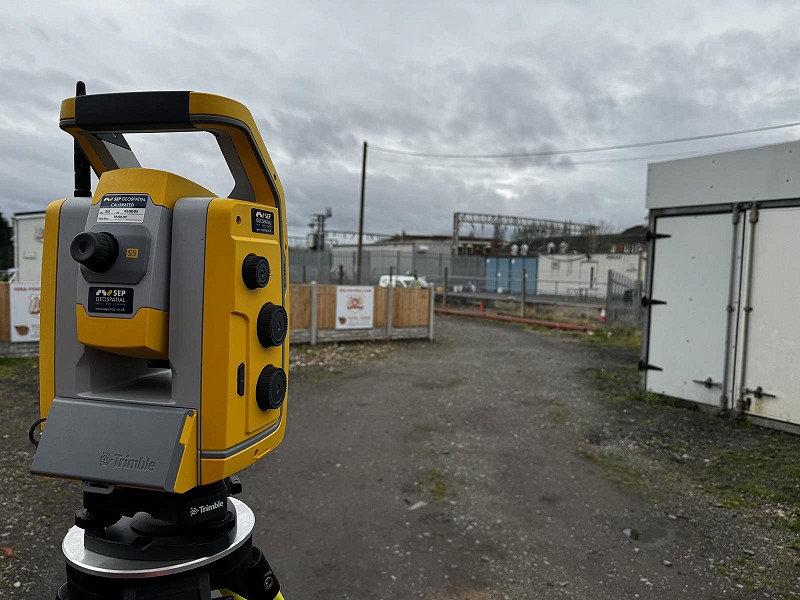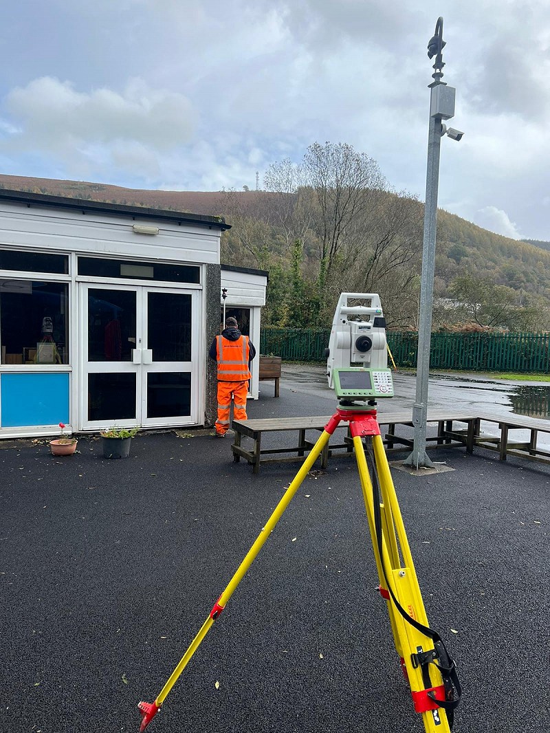
A thorough and accurate topographical land survey is essential to any project that you are considering and can lessen the possibility of costly mistakes or unforeseen issues. Using our experienced team of land surveyors we offer you complete confidence that the survey plans are delivered to the very highest standard, on time and on budget. Using the very latest in Leica and Trimble surveying technology, enables us to collect, process and present the topographic survey information efficiently and accurately. The amount and type of topographical survey detail collected on site is based on your specification. Where remote survey techniques have been used, you can be confident in the accuracy of adjoining property heights and locations. Our management systems ensure all work complies with our quality and health and safety legislation. Additional land surveying services that you may require such as; underground services tracing and 3D laser scanning enable us to provide you with an all in one solution for your surveying requirements. Final topographical survey drawings can be supplied in a number of different formats depending on your requirements, such as hard copies on paper or digitally, all at standard scales. Digital information can be provided in either 2D or 3D in file formats such as DWG, DXF and most other system formats that you might require.