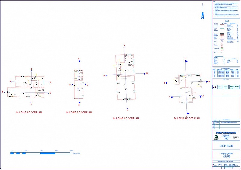
They are also trained in traditional survey techniques and years of practice to reduce errors to a minimum before leaving site. Data recorded includes all structural and non-structural features like levels, openings, walls, partitions etc. The final product can be provided as hard copy (paper) drawings, PDF files and editable DWG/DXF formats which are commonly use in the building and architecture industry. The quality of our drawings is always double checked before being dispatched to our clients. Our measured floor plans are all drawn in AutoCAD. Built on an accurately surveyed building footprint to ensure that finished floorplans depict the exact shape of a property. Every floor is uniquely layered, allowing each level to be viewed and manipulated independently or as an overlay.
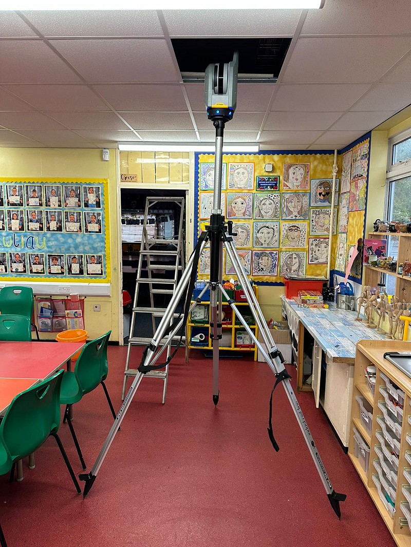
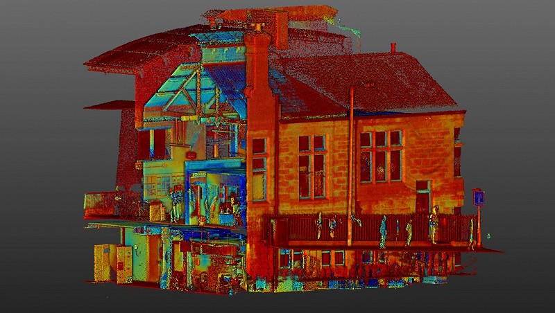
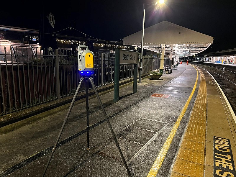
Where a measured building survey is not sufficient then we can go one level further and undertake a full 3D laser survey of the building. We capture site information using an array of networked surveying equipment. The laser scanners produce a highly accurate point cloud which is complemented and controlled by a total station and GPS data. We can then build up an accurate model of your building in software. Once generated you can undertake a very accurate 3D walkthrough of the site, have the capability to take slices at any point to understand what is going on, but still allow you to see the minutiae details that are not normally shown on traditional models such as sockets or cable runs. We undertake these works nationally so if you have an enquiry that we can assist with, please don’t hesitate to drop us a line on the contacts page or give us a call to discuss how we can help.